Day 7 – Wednesday, July 18. At 5am the sky was clear and blue but the sun was not yet shinning on the peaks around our basin. Back to sleep until 9am.
Since it stays light until after midnight, we are taking green Robaxacet muscle relaxants (1 capsule, 400mg methocarbamol and 500mg acetaminophen)
to encourage a deep and restful sleep. Between those, the scotch and a black sleeping mask we are able to sleep quite comfortably and wake up very
refreshed.
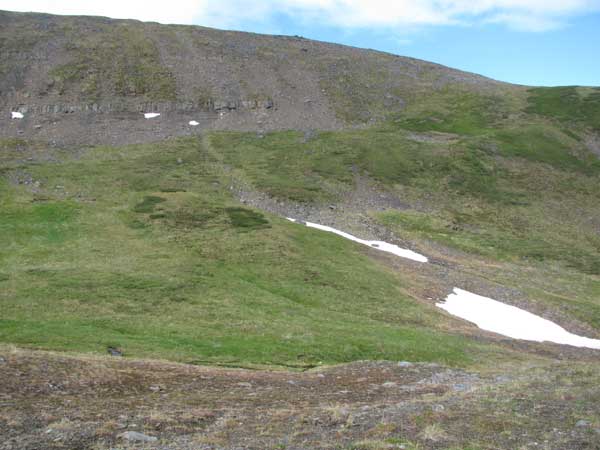
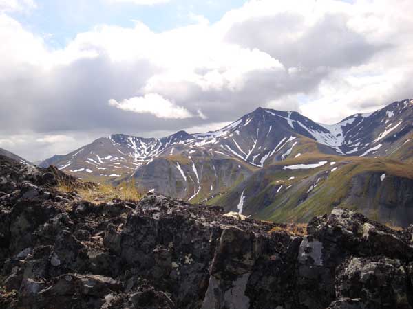
Today we decide to climb the west wall again and see if we can reach the ridge top. Everyone is in good spirits and we are all getting used to the 5550
foot altitude at camp. We climb the first wall in about 20 minutes and walk out to a viewpoint a glass across the valley, but we see nothing. So we
pack up and head south across the wide valley to continue our climb up the ridge. It is steep, but we plod along and gain the top of the ridge by noon.
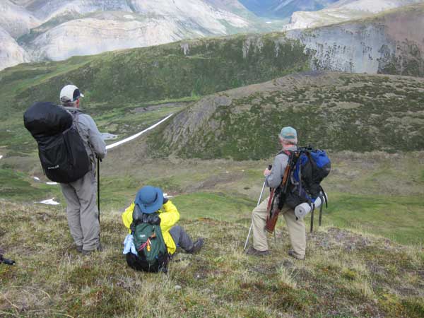
Amazing views in every direction. We are looking south into the drainage we saw yesterday which drains a large backcountry area into Caribou Cry river.
Distance down to the bottom of that watershed must be close to 1800 feet. We set up the scope and sight some individual caribou in groups of ones and
twos on the slopes across a narrow side creek to the north. The sheep we have seen up until now have all moved out of their high pastures and are nowhere
to be seen.
We eat lunch on top of the ridge and a rain cloud blows through. After lunch the rain stops and we set the scope bac up and look to the south. In the deep
snowfields on the slopes to the south Steve sights a herd of 21 caribou. Sandy spies another group of four. All are cows and calves. We pack up our
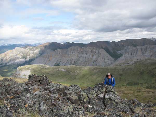
gear and continue walking up the spine of the ridge, slowing gaining elevation. The ridge is unlike any other mountain ridge I'm familiar with. Instead
of a knife-like edge of busted basalt, this ridge is anywhere from four to about thirty feet wide, flat on top, and covered with a mixture of rocks,
boulders and grassy areas. And the rock appears to be a mix of both igneous and sedimentary and even a bunch of conglomerate. I guess that even as
high and steep as these ridges are, they were under water at some point in time. Relatively recent glaciation further complicates understanding how
these mountain ranges were created.
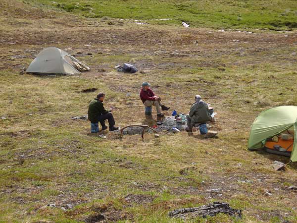
We descend more or less vertically for a thousand feet back to camp in time for tea. Later, around 5:30 local time, dark clouds move in and it looks like
another impressive storm is brewing. We race to prepare dinner. We only just finish boiling the water and mixing the meals (Black Bean and Sweet Corn
Chowder + Sweet Red Bell Pepper Pasta for me - excellent!) before an intense hail storm forces us back into our individual tents to eat dinner. After dinner
and a brief nap we emerge from our shelters to clear skies for tea and scotch. At 8PM we call Stan on the sat phone to confirm our move tomorrow. Twice
we get pushed to voice mail and we disconnect. Finally, Phil says "Well, just leave him a message," which Steve does. At 8:30PM we get confirmation
of our pick up tomorrow. About that time rain forces us back into our tent, but by 10:30PM the skies are again clear and Steve comes over to beg some
scotch. Good thing we are resupplying tomorrow – I'm also almost out of scotch. How does this happen? To our friends and family who are unable to
be here with us, we raise them a toast and send them our love.